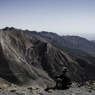
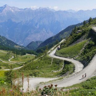
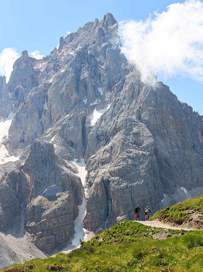
60-kilometre round-trip route departing from, and returning to, Sestriere. Route for seasoned cyclists – Strada dell’Assietta stretches above 2,000 metres a.s.l. for 30 kilometres.
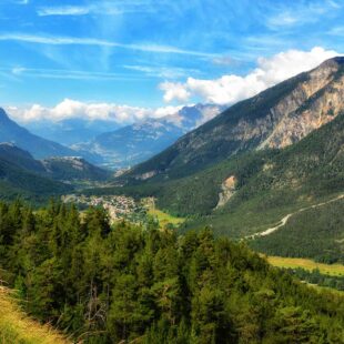
The Strada dell’Assietta, which connects the Susa Valley with Val Chisone, is divided into large dirt roads along the ridge, which rise and fall frequently and envelope ancient fortifications of military origin, and a low-lying valley that passes through the awe-inspiring Strada dei Cannoni, located inside Parco Naturale del Gran Bosco in Salbertrand. The surface of this course ranges from firm to rocky, passing across the exposed roots of evergreen trees. This route departs from, and ends in, Sestriere.
Sestriere, Bessen Haut, Borgata, Pragelato, Soucheres Basses, Lago di Pourrieres, Colle dell'Assietta, Testa dell'Assietta, Col Blegier, Monte Genevris, Col Basset, Sestriere
1 hotel on the route Strada dell’Assietta
All prices are per person, per night, in B&B
8.3
Score: Fantastic
 8.6 / 10
 4 / 5
4 / 5


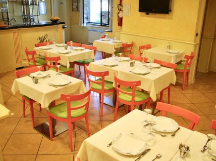

+13 photos
Vercelli, Piedmont
Open all year round
ParkingShuttle from / to airportPets allowedFamily friendly
from € 75,00


 Lenght
 Elevation gain
 Difficulty
